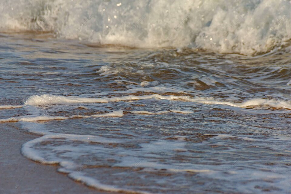
Florescent Sand Tracks Beach Erosion
Florescent colored sand could show effects of ocean currents on regions eroding beaches, offering a fascinating new tool for understanding coastal dynamics. This innovative approach uses specially-colored sand to visualize the intricate dance of ocean currents, revealing how they shape and reshape our coastlines. The method allows scientists to track the movement of sediment, providing crucial insights into the processes driving beach erosion and helping to predict future changes.
By understanding the complex interplay between currents and sediment transport, we can better understand how beaches erode and develop. This knowledge is essential for effective coastal management, enabling us to predict future changes and implement strategies to protect these valuable ecosystems.
Introduction to Fluorescent Colored Sand
Fluorescent colored sand offers a unique approach to studying beach erosion. Its vibrant hues, achieved through specialized pigments, allow for precise tracking and analysis of sand movement and distribution patterns. This enhanced visibility provides valuable data for scientists and researchers to better understand the dynamic processes shaping coastal environments. The application of fluorescent pigments, combined with traditional sand analysis methods, provides a powerful tool for studying coastal erosion, revealing intricate details of sediment transport that would otherwise be obscured.Sand, the ubiquitous granular material on beaches, is composed primarily of minerals like quartz.
Its physical properties, including grain size, shape, and density, directly impact its susceptibility to erosion. Understanding these properties is critical in predicting and mitigating the effects of coastal erosion. The composition of sand, its grain size distribution, and mineral makeup, are crucial factors in determining how it responds to wave action, currents, and other erosive forces.
Methods for Coloring Sand with Fluorescent Pigments
Fluorescent pigments are carefully selected and dispersed throughout the sand particles. The method of incorporation is critical to ensuring even distribution and avoiding clumping or uneven coloring. The most common methods involve mixing the pigment with a binder solution and then coating the sand particles, or utilizing specialized equipment to uniformly distribute the pigment. Careful attention must be paid to the concentration of pigment to achieve optimal visibility and maintain the integrity of the sand’s physical properties.
These techniques ensure the fluorescent sand retains its structural integrity and can be used effectively for the intended applications.
Comparison of Fluorescent Sand Types and Applications
| Sand Type | Fluorescent Pigment | Grain Size | Potential Applications |
|---|---|---|---|
| Beach Erosion Study Sand | High-intensity, UV-reactive pigments | Consistent, well-defined size range | Monitoring sediment transport, mapping erosion patterns, quantifying rates of beach loss |
| Coastal Current Visualization Sand | Various fluorescent colors | Uniform, consistent size | Tracking and visualizing ocean currents, identifying areas of high flow, observing sediment dispersion |
| Sediment Transport Model Sand | Multiple fluorescent pigments with specific wavelengths | Range of sizes, reflective particles | Developing and validating numerical models of coastal processes, simulating sediment movement in laboratory settings |
The table above demonstrates a range of fluorescent sand types, each designed with specific properties to meet diverse scientific needs. Different applications necessitate varying pigment intensities, grain sizes, and color combinations. This allows researchers to tailor their experiments to the specific questions being asked, making these tools highly versatile. By using specific colors and particle sizes, scientists can study various aspects of erosion and sediment transport.
Ocean Currents and Beach Erosion
Coastal landscapes are dynamic systems shaped by the relentless forces of nature. Ocean currents play a pivotal role in sculpting these landscapes, constantly shifting sand, rock, and sediment. Understanding these currents and their impact is crucial for predicting and mitigating coastal erosion, a significant threat to communities and ecosystems worldwide.Ocean currents, driven by a complex interplay of wind patterns, temperature gradients, and the Earth’s rotation, exert powerful forces on coastal areas.
These forces are not uniform, leading to diverse impacts on beach morphology. The constant movement of water, combined with the weight and friction of sediment, determines whether a beach gains or loses sand over time.
Mechanisms of Ocean Current Impact on Coastal Erosion
Ocean currents exert their influence on coastal erosion through a combination of forces. The sheer volume of water moving through the coastal zone exerts a drag force on the shoreline, dislodging sediments. Waves, generated by these currents, further enhance this erosive power. The constant battering of waves against the shore can gradually wear away rocks and sand, resulting in the loss of beach material.
Additionally, the currents themselves can carry large volumes of sediment away from the shoreline, contributing to erosion.
Types of Currents and their Impact on Beach Morphology
Different types of currents have distinct effects on beach morphology. Longshore currents, driven by prevailing winds, move sediment parallel to the shoreline, shaping beaches into elongated features. Rip currents, powerful channels of water flowing seaward, remove significant quantities of sediment, creating characteristic gaps and depressions in the beach profile. Tidal currents, driven by the gravitational pull of the moon and sun, cause periodic fluctuations in water level, impacting the amount of sediment transported and deposited.
These combined effects lead to a complex interplay of erosion and deposition, shaping the ever-changing coastline.
Sediment Transport and Deposition
The movement of sediment is a fundamental process in coastal erosion and deposition. Sediment, whether sand, gravel, or larger debris, is picked up and transported by the currents. The size, shape, and density of the sediment particles influence how easily they are moved. Larger, denser particles tend to be transported at lower velocities than finer ones. The process of deposition occurs when the current’s energy decreases, allowing sediment to settle out.
The resulting accumulation of sediment can lead to the formation of new beaches, bars, and other coastal features.
Table of Typical Erosion and Deposition Patterns
| Coastal Type | Typical Current Patterns | Erosion/Deposition Patterns |
|---|---|---|
| Straight, sandy beach | Strong longshore currents, moderate tidal currents, occasional rip currents | Sand is transported along the beach, rip currents cause localized erosion, beach profile remains relatively stable over time |
| Rocky Coastline | Strong wave action, variable tidal currents | Erosion is concentrated in areas with exposed rocks, wave action creates sea caves and stacks, deposition is minimal in the immediate vicinity of the rocks |
| Estuarine Delta | Weak longshore currents, strong tidal currents, river input | Sediment carried by rivers is deposited at the mouth, creating a delta, tidal currents distribute sediment across the area, longshore currents are weak and play a less prominent role |
Linking Fluorescent Sand to Ocean Currents
Fluorescent sand, with its vibrant hues, offers a captivating way to visualize and understand the intricate dance of ocean currents. Its unique properties allow scientists to track the movement of water masses, revealing the complex patterns of transport and deposition along coastlines. This method provides valuable insights into beach erosion processes and can inform conservation strategies.The vibrant fluorescence of the sand particles acts as a powerful tracer, allowing researchers to follow the path of currents in a way that’s both visually striking and scientifically rigorous.
This technique, while relatively new, holds great potential for understanding coastal dynamics. The method relies on the principle of the sand particles being carried by the currents and subsequently deposited in new locations, leaving a visible trail of their journey.
Tracking Current Movement
Fluorescent sand particles, strategically placed in the water, act as miniature buoys. As ocean currents move, they carry these fluorescent markers along their path. By observing the distribution of the fluorescent sand over time, scientists can create a detailed map of current flow patterns. This method is particularly effective in areas with complex or variable currents, where traditional methods might struggle.
Transport and Deposition Mechanisms
The movement of fluorescent sand particles is governed by the same forces that drive ocean currents. These include the effects of wind, tides, density differences in the water, and the topography of the seafloor. The size and density of the sand particles play a crucial role in their transport. Larger, denser particles are more likely to be deposited near the source, while smaller particles can be carried over considerable distances.
Additionally, the presence of obstructions like reefs or submerged rocks can significantly alter the paths of the currents and affect the distribution of the fluorescent sand.
Examples of Fluorescent Tracer Studies
Numerous studies have utilized fluorescent tracers, including fluorescent dyes or particles, to study ocean currents. For instance, researchers have used these techniques to map the flow of water around coral reefs, understanding how currents impact the transport of nutrients and organisms. Other studies have focused on the dynamics of coastal upwelling, identifying the areas where nutrient-rich water rises to the surface.
These studies demonstrate the effectiveness of fluorescent tracers in revealing the complex interplay of forces shaping marine environments. These studies highlight the value of fluorescent tracers in studying the transport of sediment and organisms.
Potential Challenges and Limitations
While fluorescent sand offers a powerful tool for studying ocean currents, there are some potential challenges and limitations. The visibility of the fluorescent sand can be affected by factors such as water clarity, turbidity, and the presence of other particles in the water column. This can hinder the ability to accurately track the movement of the sand. Also, the fluorescent properties of the sand might not be maintained over long periods or in all conditions.
The cost and complexity of deploying and analyzing the fluorescent sand can also be a limiting factor. Additionally, the interaction of the fluorescent sand with the environment, such as settling on the seabed or becoming entangled in marine organisms, could affect the accuracy of the results.
Investigating Erosion Patterns in Specific Regions
Fluorescent colored sand offers a unique opportunity to study beach erosion in detail. By strategically deploying this specialized sand, scientists can track the movement of sediment and identify patterns that might be missed with traditional methods. This approach provides a clearer understanding of the complex interplay between natural forces and human activities impacting coastlines.The key advantage lies in the ability to visualize sand movement in real time.
This allows for a dynamic understanding of erosion processes, offering valuable insights into the long-term health of coastal environments. By marking specific areas with fluorescent sand, scientists can monitor the rate and direction of sediment transport, crucial information for developing effective coastal management strategies.
Specific Areas for Deployment
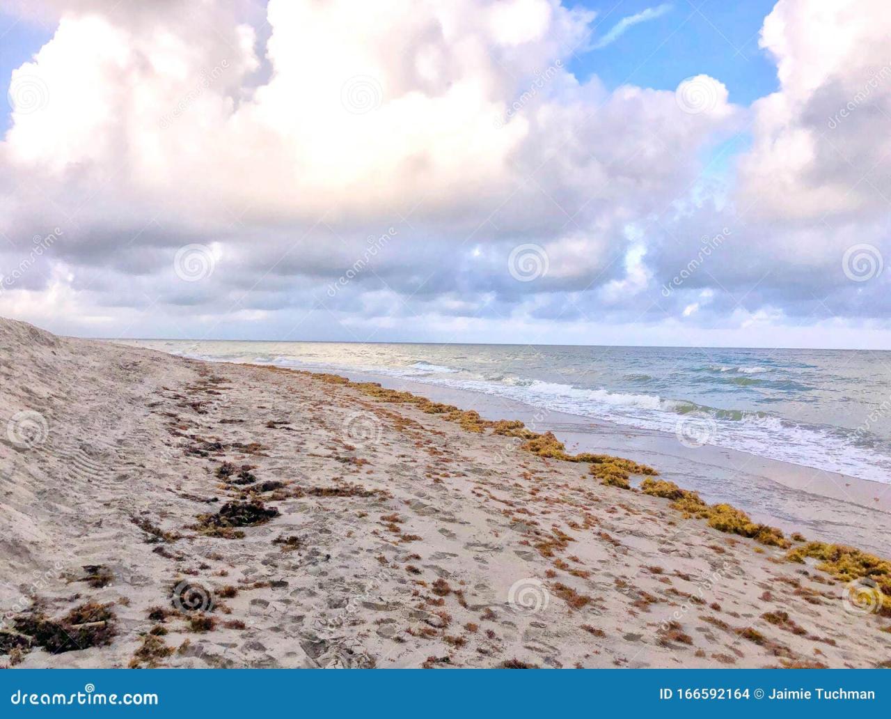
Coastal regions experiencing significant erosion, such as those affected by rising sea levels or strong wave action, are prime candidates for fluorescent sand deployment. This includes locations like the California coast, the Gulf Coast of the United States, and the shores of the Baltic Sea. Areas with high tourism and construction activities, where human impacts are likely to influence erosion patterns, are also ideal.
Specific beaches with known erosion issues, identified through historical data or recent surveys, should be prioritized.
Impact of Human Activities on Coastal Erosion
Human activities, such as construction projects and dredging, can significantly accelerate erosion rates. For example, the construction of seawalls or the extraction of sand from coastal areas can disrupt natural sediment transport processes. By deploying fluorescent sand in areas affected by such activities, scientists can directly observe the extent of their impact. The displacement of sand and the changes in erosion patterns can be measured and linked to specific human interventions, allowing for a more precise understanding of the causal relationship.
Methods for Collecting and Analyzing Fluorescent Sand Data
Various methods can be used to collect and analyze data from fluorescent sand. High-resolution aerial photography and drone imagery can capture detailed patterns of sand movement over time. Regular ground surveys, using GPS-enabled devices, can pinpoint the location and extent of sand displacement. Analysis of the fluorescent sand data can be coupled with other data sets, such as wave height and direction data, tide charts, and satellite imagery.
Sophisticated image processing techniques can identify and track the movement of individual sand grains, offering a granular view of the erosion process. Using Geographic Information Systems (GIS) can help create comprehensive maps and models of erosion patterns.
Erosion Rate Comparison Across Regions
| Region | Average Erosion Rate (cm/year) | Contributing Factors | Human Impact (Yes/No) |
|---|---|---|---|
| California Coast (Central) | 2-5 cm/year | Strong wave action, rising sea levels | Yes (Limited construction, tourism) |
| Gulf Coast (Louisiana) | 6-8 cm/year | Rising sea levels, land subsidence | Yes (Dredging, oil extraction) |
| Baltic Sea Coast (Poland) | 1-3 cm/year | Changes in water currents, storms | Yes (Tourism, construction) |
This table provides a basic comparison, and actual erosion rates will vary depending on specific locations and the intensity of factors affecting them. The table highlights the significant role human activities can play in accelerating coastal erosion. More detailed data will be collected and analyzed for each region to create a comprehensive picture of erosion patterns.
Methods for Data Collection and Analysis

Tracking the movement of ocean currents and the erosion of beaches using fluorescent sand requires a meticulous approach. This involves strategic deployment, precise data collection, and sophisticated analysis techniques. By carefully monitoring the distribution and concentration of the fluorescent particles, we can gain valuable insights into the dynamics of coastal processes.This section Artikels the methods used for deploying the fluorescent sand, collecting data on its distribution, and analyzing the data to determine the movement of ocean currents and the extent of erosion.
We’ll explore suitable analytical tools and techniques for this research.
Deploying Fluorescent Sand in Coastal Environments
Careful placement of fluorescent sand is crucial for accurate data collection. The sand must be distributed evenly and at consistent depths along the coast. Factors such as tidal patterns, wave action, and prevailing currents must be considered when choosing the deployment locations and times. This ensures the sand particles are well-mixed and dispersed, providing a representative sample of the area’s dynamics.
A GPS-based system can be used to precisely mark the deployment locations, aiding in the later analysis and interpretation of the data. Moreover, the chosen fluorescent sand should have a known and consistent brightness for accurate comparison and quantification of the data.
Collecting Data on the Distribution and Concentration of Fluorescent Sand
Regular monitoring of the fluorescent sand’s distribution and concentration is essential. This can be achieved through systematic beach surveys, employing techniques like aerial photography, drone imagery, and in-situ sampling. Aerial photography, using specialized sensors that can detect the fluorescent pigments, provides a comprehensive overview of the sand’s spatial distribution. Drone imagery allows for high-resolution, detailed images of the coastal zone, showing the movement and concentration of the fluorescent sand particles.
In-situ sampling involves collecting samples of the sand at various points along the coast. These samples are then analyzed to determine the concentration of the fluorescent particles. The samples must be collected at consistent intervals to ensure the accuracy and reliability of the data. The data collected from different methods should be cross-referenced to ensure consistency and reliability of the results.
Ever wondered how we can track the subtle shifts of ocean currents impacting our eroding beaches? Well, fluorescent colored sand could hold the key! Understanding the intricate dance of these currents is crucial, and applying the three cardinal rules of measurement – accuracy, precision, and consistency – three cardinal rules of measurement – is paramount to interpreting the data.
This data will help scientists better understand how these currents affect the movement of the sand, ultimately leading to a more effective strategy to protect these vulnerable coastal areas. Ultimately, this innovative approach could revolutionize our understanding of beach erosion.
Analyzing Data to Determine Current Movement and Erosion
Analyzing the data gathered from the distribution and concentration of fluorescent sand is crucial for determining current patterns and erosion rates. Sophisticated image analysis software can be used to quantify the intensity and distribution of the fluorescent sand. For example, image processing techniques like pixel-by-pixel analysis can track the movement of the sand over time. This helps establish the speed and direction of currents.
Fluorescent colored sand could reveal a lot about ocean currents impacting eroding beaches. Understanding these patterns is crucial for coastal management, and a well-structured project management office, like the one discussed in this article about creating project management office , could help organize and execute research projects. Ultimately, this data helps us better understand and potentially mitigate the effects of coastal erosion using the sand as a visual indicator.
Analytical Tools and Techniques, Florescent colored sand could show effects of ocean currents on regions eroding beaches
Several analytical tools and techniques can be used to process the data collected from the fluorescent sand. Image analysis software, like ImageJ or ArcGIS, can be used to analyze the intensity and distribution of the fluorescent sand in aerial or drone imagery. This data can be overlaid on topographical maps or digital elevation models (DEMs) to understand the relationship between erosion patterns and the underlying topography.
Statistical methods, like regression analysis, can be used to correlate changes in the concentration of fluorescent sand with factors like wave height and frequency, providing insights into the erosion processes.
The use of advanced modeling software, such as hydrodynamic models, can further refine the analysis by simulating the movement of water and sand, thereby validating and refining the findings from the fluorescent sand analysis.
Furthermore, the application of GIS (Geographic Information Systems) technology is important for managing and interpreting the large datasets generated from these studies. GIS allows for the creation of maps that visually represent the movement of fluorescent sand and its relationship to erosion patterns. Combining the results with historical data on wave patterns and erosion rates enhances the understanding of the long-term coastal dynamics.
Visualizing Results and Data Interpretation
Analyzing the movement of fluorescent sand allows for a visual representation of ocean currents and beach erosion patterns. This approach provides a tangible way to understand complex processes and facilitates the prediction of future changes. The data, once visualized, allows for the identification of critical erosion hotspots and the development of effective coastal management strategies.
This fascinating research on fluorescent colored sand could revolutionize how we understand ocean currents impacting eroding beaches. It’s a fascinating area of study, and the insights could lead to better coastal management strategies. Meanwhile, it’s interesting to note that apple shareholders aren’t expected to scrap diversity programs despite broader backlash 2 here. Hopefully, these new techniques will give us a clearer picture of the complex forces shaping our coastlines.
Creating Visual Representations
Visualizing the data collected from the fluorescent sand experiment is crucial for understanding the intricate relationship between ocean currents and beach erosion. Effective visualization methods transform raw data into easily digestible information. These methods include creating maps and graphs. Maps, particularly topographic maps, can illustrate the distribution of the fluorescent sand and its movement, providing a spatial context for erosion patterns.
Graphs, such as line graphs or scatter plots, can display the relationship between factors like current strength, sand movement, and erosion rates over time. These visualizations aid in recognizing trends and patterns.
Interpreting Visual Data for Erosion and Current Movement
Interpreting the visualized data is essential to understanding the interplay between ocean currents and beach erosion. Careful examination of maps and graphs allows identification of patterns. For example, areas where the fluorescent sand concentrates or disperses rapidly indicate zones of high or low current velocity. Changes in the sand’s distribution over time show how currents are affecting erosion.
Identifying patterns in the data will help predict future erosion and understand how currents shape the coastline.
Predicting Future Erosion Patterns
Analyzing the visualized data allows for predictions about future erosion patterns. By examining the relationship between sand movement, current strength, and time, it’s possible to forecast how beaches might erode or accrete in the future. For instance, if a specific area shows persistent sand loss correlated with strong currents, that area is likely to experience increased erosion in the future.
Historical data and real-world examples can strengthen these predictions.
Implications for Coastal Management Strategies
The findings from this study have significant implications for coastal management strategies. Understanding the dynamic interplay between ocean currents and beach erosion is crucial for developing effective solutions to protect coastlines. Coastal managers can use the data to identify high-risk areas and implement preventative measures such as constructing seawalls or replenishing eroded beaches. Furthermore, the findings can inform long-term coastal management plans by anticipating future changes and adapting strategies accordingly.
For example, understanding erosion patterns in a specific region can lead to targeted interventions, minimizing the impact of coastal erosion. This is particularly crucial in vulnerable coastal areas.
Potential Applications and Future Directions
The fluorescent sand technique, by allowing us to visualize ocean currents’ impact on beaches, opens up exciting possibilities for coastal management. Beyond basic research, this method promises practical applications for predicting and mitigating beach erosion, ultimately protecting coastal communities and infrastructure. Understanding how currents transport sediment is crucial for informed decision-making in coastal zones.This section delves into the potential applications of fluorescent sand in coastal management, highlighting potential research avenues, and exploring how this technique can be combined with other monitoring methods.
We’ll also look at similar research using fluorescent tracers in different environments.
Potential Applications in Coastal Management
The ability to track sediment movement with fluorescent sand offers a valuable tool for coastal managers. Real-time monitoring of erosion patterns allows for more targeted interventions, reducing the need for reactive measures and potentially preventing significant damage. This predictive capability can be used for proactive beach nourishment strategies, enabling authorities to strategically place sand where it’s most needed.
The data can also inform the design and placement of coastal structures, such as seawalls or breakwaters, by pinpointing areas of high erosion risk.
Potential Areas for Further Research and Development
Further research could explore the impact of different wave conditions on sand transport patterns. Analyzing the influence of seasonal variations in currents on sediment movement is crucial. A deeper understanding of how various coastal features (e.g., reefs, jetties) affect the distribution of fluorescent sand will be key to developing more sophisticated models for coastal erosion prediction. Also, the development of more cost-effective and environmentally friendly fluorescent dyes is a significant area for improvement.
Integrating with Other Coastal Monitoring Methods
Integrating fluorescent sand with other coastal monitoring methods, such as satellite imagery, drone surveys, and wave modeling, will enhance the accuracy and comprehensiveness of the data collected. Combining different data sources creates a more holistic picture of coastal processes, allowing for more robust predictions and informed management decisions. For example, satellite imagery can provide broader context of the coastal area, while drone surveys can capture detailed information about the sediment distribution on a localized scale.
These combined datasets allow for a more comprehensive picture of sediment transport dynamics.
Similar Research Using Fluorescent Tracers
Research using fluorescent tracers in other environments, like rivers and lakes, provides valuable insight into the transport dynamics of suspended sediments. These studies demonstrate the effectiveness of this technique in visualizing and quantifying water movement, which can be directly applied to the coastal environment. Examples include investigations of river plume dynamics and the tracing of contaminant transport in lakes.
These studies highlight the versatility of fluorescent tracers in different aquatic systems. Furthermore, similar research has been conducted in estuaries to track the dispersion of pollutants, showing the potential for application in environmental management. These studies show that the fundamental principles of tracer dynamics are applicable across various aquatic ecosystems.
Final Review: Florescent Colored Sand Could Show Effects Of Ocean Currents On Regions Eroding Beaches
In conclusion, using fluorescent sand offers a powerful method for studying beach erosion. By tracking the movement of colored sand, scientists can gain a detailed understanding of ocean currents and their impact on coastal regions. This approach provides valuable insights for coastal management, helping us to protect these vital environments for future generations. The potential for this method to reveal subtle details about coastal processes makes it a promising tool for researchers and policymakers alike.