The Shifting Landscape of Global Ice: Unveiling the Individual Stories of the World’s Glaciers

For contemporary glaciologists, the prevailing global narrative regarding the cryosphere has long been defined by macro-level metrics: total volume loss, global sea-level contribution, and the steady, systemic retreat of the world’s roughly 275,000 recorded glaciers. From an orbital perspective, high above continental divides and oceanic currents, the planetary ice cover appears to be undergoing a uniform, catastrophic decline. However, a closer examination of localized records reveals a vastly more complex reality. Rather than adhering to a single, monolithic trajectory of loss, individual glaciers possess distinct life histories shaped by localized topography, microclimates, volcanic activity, and shifting regional water demands. Recent developments across the Pacific Northwest of the United States, the Caucasus region of Azerbaijan, and the Northern Japanese Alps demonstrate that the transformation of the cryosphere is characterized by unique localized phenomena—ranging from unexpected ice accumulation to newly recognized active glacial formations.
Volcanic Regeneration: The Growth of Crater Glacier in the Pacific Northwest
In the Pacific Northwest, Mount St. Helens offers a striking counterexample to the prevailing trend of worldwide glacial retreat. Following the catastrophic May 1980 Plinian eruption—which decimated approximately 70 percent of the volcano’s existing glacial mass, including the Loowit and Leschi glaciers, and carved a massive two-mile-wide, horseshoe-shaped crater—geologists anticipated a prolonged period of ice absence. Instead, the cataclysmic event inadvertently established the precise geomorphological conditions necessary for ice regeneration.
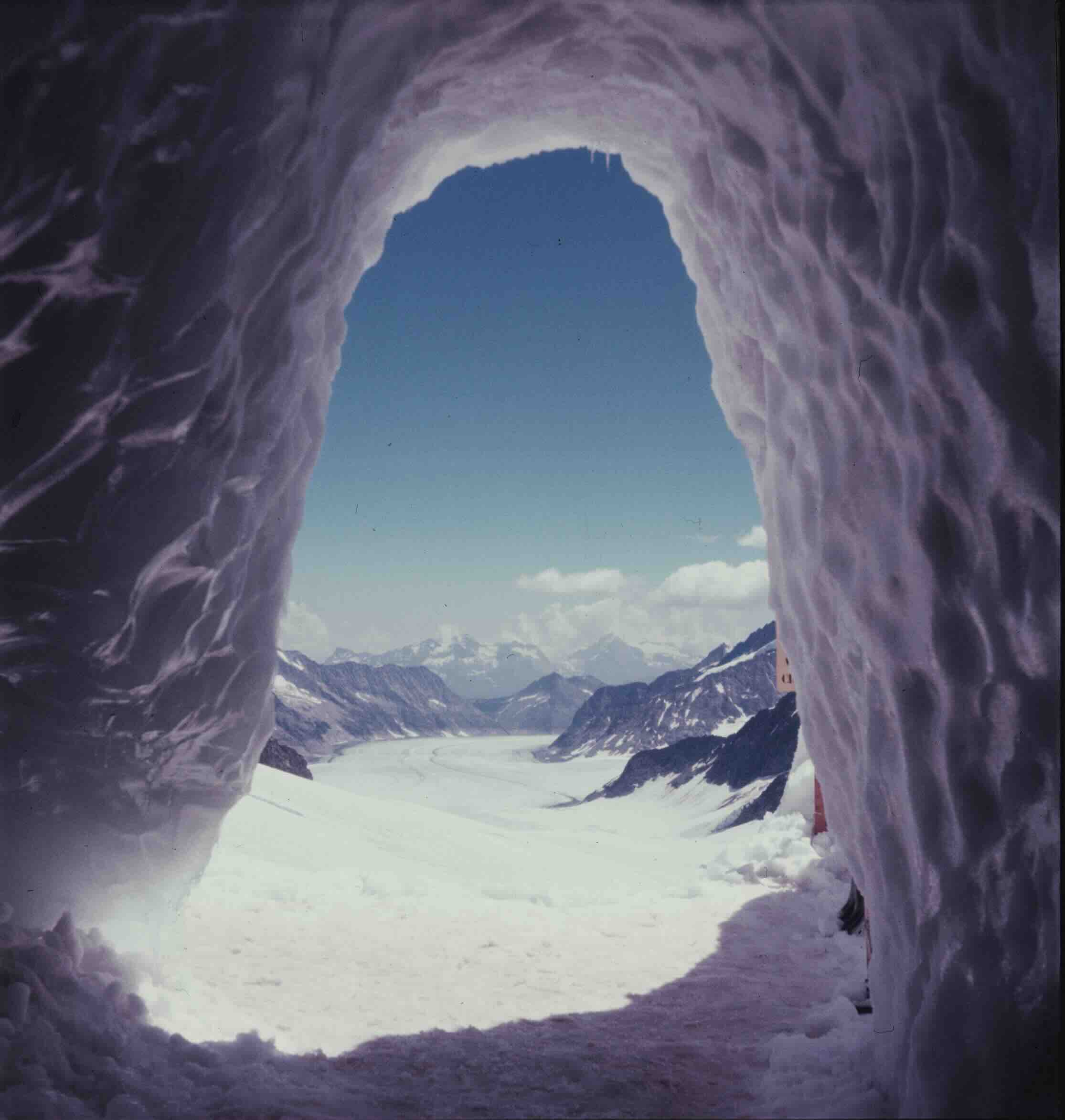
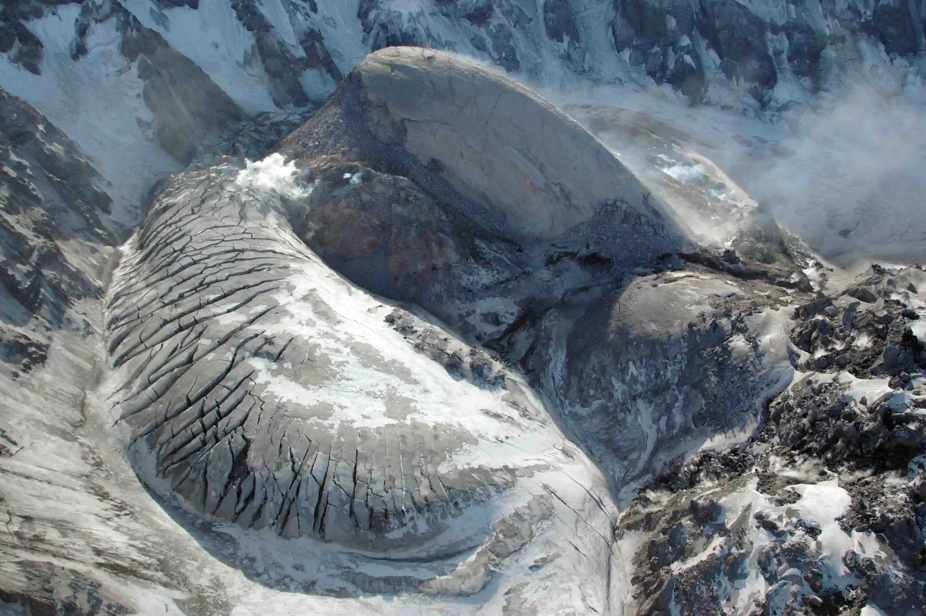
Continuous winter snowfall onto the steep, shaded interior headwall of the volcano led to repeated avalanching onto the crater floor below. By September 1996, glaciologists documented that the accumulated mass of snow and ice had begun to internally deform and flow—the critical physical threshold that defines a living glacier. Named Crater Glacier, this newly formed body of ice demonstrated remarkable resilience. In 2004, renewed magmatic activity pushed a lava dome upward through the center of the glacier, splitting the ice mass in two.
Despite this disruption, the separated arms of the glacier thickened and accelerated, flowing at rates between 30 and 60 centimeters per day. By 2008, the two arms had successfully encircled the lava dome and rejoined. Between 2009 and 2019, Crater Glacier expanded by approximately 13.8 million cubic meters of ice, advancing more than a thousand feet. While climatologists note that regional warming trends and potential future volcanic activity threaten its long-term stability, the glacier’s existence highlights the capacity of specific microclimates to defy generalized environmental projections. Furthermore, the presence of an active ice mass surrounding a volcanic vent carries ongoing implications for regional safety, as future volcanic warming could generate hazardous lahars—destructive mudflows that pose documented risks to downstream infrastructure.
Peak Water and vanishing Reserves in the Caucasus
While certain volcanic craters foster unexpected ice growth, other regional cryospheric systems are experiencing accelerated depletion with direct consequences for human hydrology. In Azerbaijan, the intersection of rapid climate warming and mountainous topography has driven a severe reduction in glacial coverage. Between 2000 and 2020, Azerbaijan lost approximately 77 percent of its total glacier area. By 2025, only 14 fragmented glaciers remained, covering a cumulative area of roughly 124 acres—about ten percent of the ice coverage documented in the 1890s.
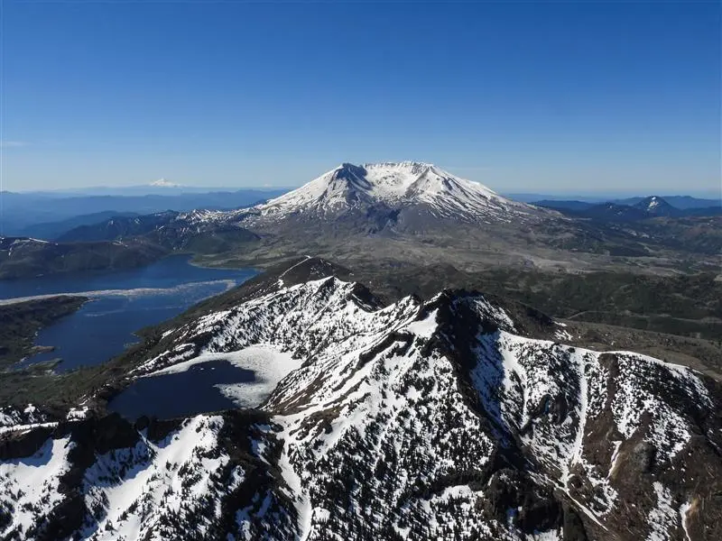
Despite the near-total disappearance of these high-altitude reservoirs in the Eastern Caucasus, their ongoing melt cycle plays a critical role in regional hydrology. Agricultural expansion, particularly the cultivation of wheat, fruit, and vegetables, has driven a fourfold increase in groundwater withdrawals since 2000. In 2025, scientific expeditions to Azerbaijan’s Tufandag Glacier documented accelerated melting and widening crevasses, accompanied by a measurable increase in water levels and discharge rates in the downstream Mahmuddara River.
This phenomenon illustrates the hydrological concept of "peak water," wherein a retreating glacier temporarily yields maximum runoff as stored ice transforms into liquid. While this surge in meltwater provides a short-term boon for downstream agriculture, irrigation, and municipal consumption, hydrologists warn that it represents a finite liquidation of long-term reserves. Once these small glaciers cross the threshold of peak water and vanish entirely, local communities will face the permanent loss of a natural reservoir, necessitating significant investments in artificial water storage and management infrastructure.
Discovery and Redefinition in the Northern Japanese Alps
In contrast to shrinking ice masses elsewhere, Japan’s high-altitude environments have recently expanded the scientific inventory of active glaciers. Historically, standard climatological models suggested that Japan’s geographic location and mountain elevations were insufficient to support glaciers, categorizing persistent high-altitude white patches merely as perennial snow fields.
However, pioneering geodetic measurements and ground-penetrating radar surveys conducted between 2009 and 2012 by researchers Kotaro Fukui and Hajime Iida established that several perennial snow patches in the Northern Japanese Alps—specifically the Gozenzawa, Sannomado, and Komado formations on Mount Tateyama and Mount Tsurugi—were actively flowing under their own weight, officially qualifying them as glaciers. Subsequent analysis confirmed that Kuranosuke, long classified simply as a 6-acre snow patch containing ice dating back approximately 1,700 years, was likewise exhibiting measurable movement of roughly three centimeters per year.
This belated recognition underscores the limitations of historical global glacier databases and highlights the influence of heavy regional snowfall and localized topography. Yet, even as these formations are formally cataloged as glaciers, contemporary monitoring indicates they are concurrently experiencing mass loss due to rising summer temperatures. Scientific consensus suggests these newly recognized glaciers exist in a transitional state, blurring the categorical boundaries between active glaciers and residual snow patches.
Implications for Global Cryospheric Monitoring
The disparate trajectories observed at Mount St. Helens, the Caucasus, and the Japanese Alps emphasize the necessity of granular, site-specific monitoring within modern glaciology. While macro-scale assessments remain essential for evaluating global sea-level rise and broad climatic shifts, they frequently obscure local adaptations and anomalies.
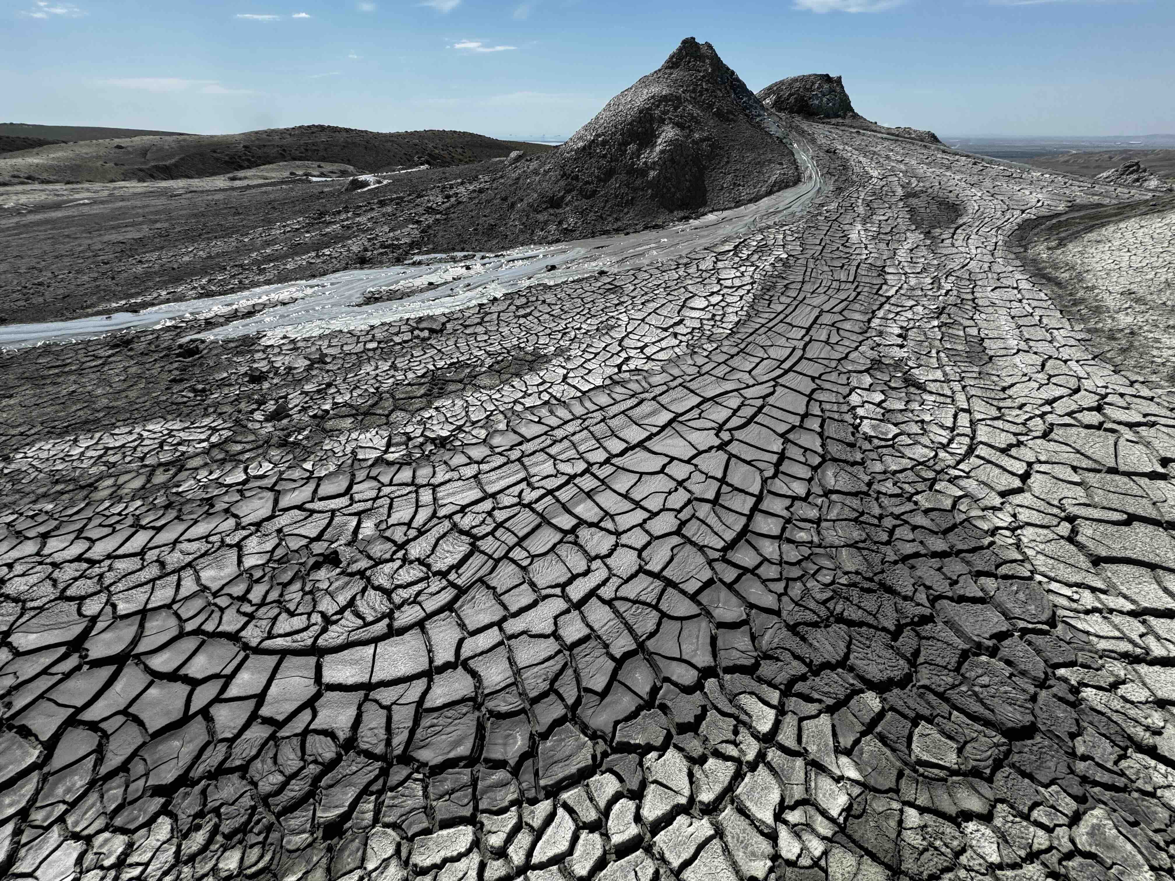
The growth of Crater Glacier, the temporary hydrological contributions of Tufandag, and the late-stage discovery of active ice in Japan demonstrate that the cryosphere is not reacting uniformly to global temperature increases. Each regional ice mass responds through a complex interplay of localized weather patterns, geological catalysts, and hydrological feedback loops. Understanding these individual trajectories is critical not only for advancing scientific models of ice mechanics, but also for enabling downstream human populations to anticipate and adapt to the shifting availability of water resources in a warming world.