Living on Borrowed Time: How Juneau’s Residents and Scientists Are Combating Annual Glacial Floods

The phone call or the emergency notification on the screen usually arrives in the dead of night, piercing the quiet of a southeastern Alaska summer. For residents living along the Mendenhall River in Juneau, that alert is no longer a surprise; it is an inevitable annual reckoning. As global temperatures rise and the Arctic warms at a rate two to three times the global average, the landscape of Alaska’s capital is undergoing a violent, accelerated transformation. What was once considered an isolated hydrological anomaly has morphed into a predictable, relentless cycle of disaster.
For families like John Lowrey’s and Mark Miller’s, the cost of this climate reality is measured in tens of thousands of dollars in structural damage, ruined family heirlooms, and a constant, lingering psychological trauma. Yet, out of the chaos of repeated catastrophic inundations, Juneau has become an unlikely laboratory for climate adaptation. Through a combination of cutting-edge hydrology, community-driven early warning systems, and heavy civil engineering, the city is pioneering a blueprint for how vulnerable communities worldwide might confront the recurring disasters of a warming planet.
The Anatomy of an Outburst: Understanding Suicide Basin
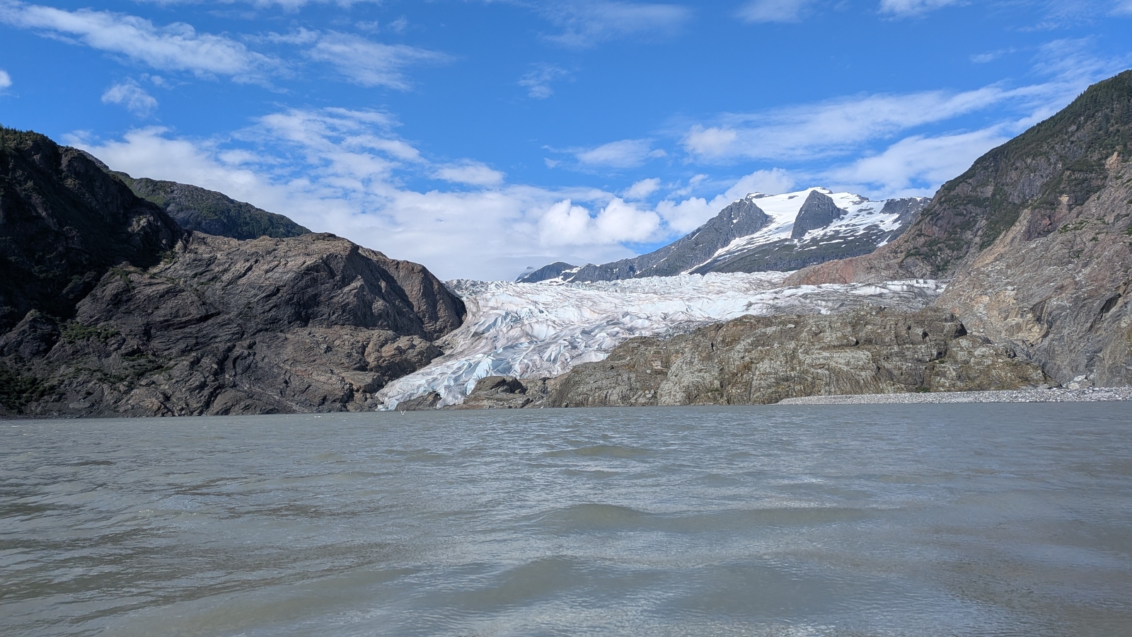
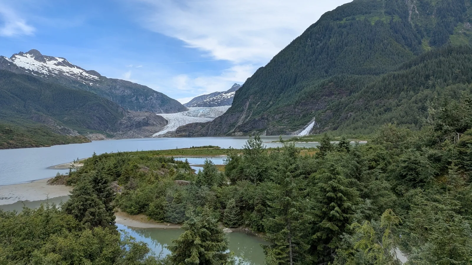
To understand the crisis unfolding in Juneau’s Mendenhall Valley, one must look upward toward the colossal expanse of the Mendenhall Glacier. Tucked beside the glacier is Suicide Basin, a side basin that collects immense volumes of rainwater and seasonal meltwater. As temperatures climb during the brief Alaskan summers, this basin fills rapidly.
The glacier acts as a colossal, porous dam. Eventually, the hydrostatic pressure within Suicide Basin becomes so intense that it lifts the massive wall of ice, carving out subterranean conduits and triggering a catastrophic release known as a glacial outburst flood, or jökulhlaup. When the basin breaches, it can discharge upward of 15 billion gallons of water—enough to fill roughly 22,000 Olympic-size swimming pools—down the Mendenhall River in a matter of hours.
While glacial outburst floods are well-documented phenomena in places like Iceland, the Alps, and the Himalayas, Juneau faces a unique and precarious vulnerability: residential neighborhoods, schools, and civic infrastructure sit directly in the flood path. Home to approximately 32,000 residents and accessible only by air or sea, the city capital is grappling with a hazard that directly threatens the long-term viability of its residential suburbs.
A Chronology of Escalating Crises
The modern era of Juneau’s flooding crisis began relatively quietly. In 2011, the Mendenhall Valley experienced its first documented major flood from Suicide Basin. At the time, local scientists and residents were baffled, scrambling in helicopters to locate the source of the sudden, destructive torrents. For more than a decade, the floods remained relatively small, manageable events that many dismissed as rare occurrences.
That illusion shattered in August 2023. A sudden, massive breach sent the Mendenhall River surging to a historic record high of nearly 15 feet. The raging water inundated approximately two dozen homes, swept an entire house entirely into the river, and caused millions of dollars in structural damage.
Rather than remaining a one-hundred-year event, the disaster repeated itself with terrifying consistency. New benchmarks were set in 2024—when nearly 300 homes suffered damage—and again in 2025. Another severe flood struck last month, cementing scientists’ grim consensus: these destructive outburst floods are expected to return annually for decades to come.
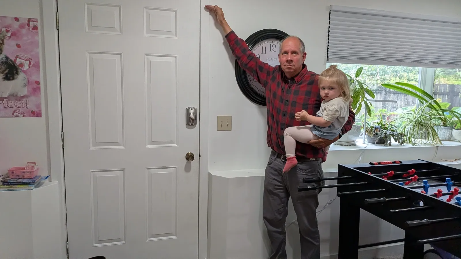
For 65-year-old retiree John Lowrey, the 2023 flood remains a visceral memory. Awakened by the roar of rushing water, he rushed toward his basement just as a three-foot wave slammed through the door, tearing it entirely off its hinges. The water surged through bay windows, destroying the family piano, heirloom cedar chests, insulation, appliances, and irreplaceable documents. Total repairs cost $150,000.
“We didn’t know anything,” Lowrey recalled. “We didn’t understand the nature of the basin. We thought it was a 100-year flood.”
Similarly, 75-year-old Mark Miller was jolted awake by water pouring into his crawl space. When he opened his garage door, a wall of gray slush and mud surged toward him, leaving 16 inches of sediment in its wake. Restoring the home took seven months and cost $35,000.
Democratizing Data: The Power of the Flood Dashboard
Faced with an annual crisis, local officials, researchers, and residents recognized that traditional emergency response models were inadequate. Traditional weather forecasts could not account for the complex, subterranean dynamics of glacial melting and basin filling.
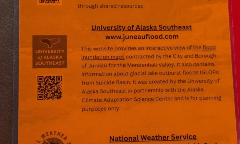
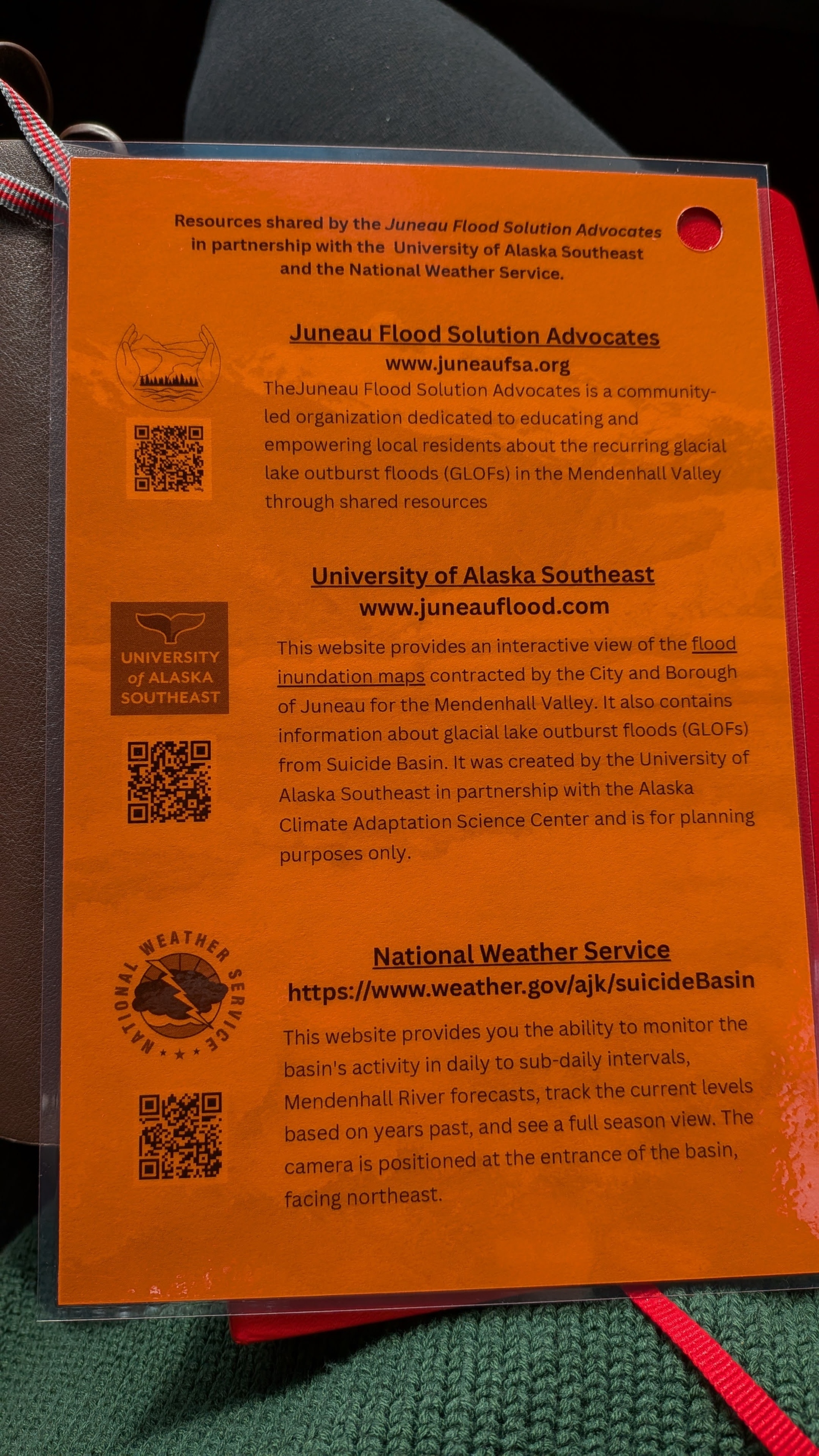
To bridge this gap, environmental scientists from the University of Alaska Southeast and the Alaska Climate Adaptation Science Center collaborated with the city government to develop a specialized online flood dashboard. Rolled out ahead of the 2025 flood season, the tool translates complex hydrological, meteorological, and glaciological data into clear, actionable metrics for everyday citizens.
The dashboard provides real-time flood maps, interactive explanations of Suicide Basin’s mechanics, and remarkably accurate predictions regarding the timing and height of incoming water peaks. To ensure broad accessibility, researchers and residents distributed flyers, magnetic schedules, and QR codes throughout the valley. Last year alone, more than 15,000 people accessed the platform.
For residents like Alyssa Fischer, a 33-year-old single mother who had to carry her young children through knee-deep, icy water while evacuating her home, the dashboard has fundamentally changed her relationship with the environment. During flood season, Fischer checks the platform hourly.
“Before it impacted my life, it was like, ‘Oh, that’s interesting,’” Fischer said. “Now, I want to know what’s happening. It’s your life, it’s your money and your investment, and understanding what’s actually happening in the world around you and how it’s going to affect you.”
Municipal Fortification and Engineering Responses
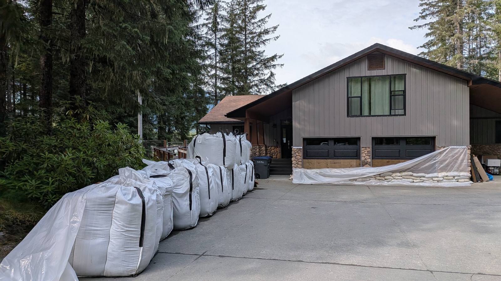
While data empowers residents to protect their personal belongings—deploying sandbags, elevating appliances, and timing evacuations—the city of Juneau has had to execute aggressive civil engineering projects to defend public infrastructure and dense neighborhoods.

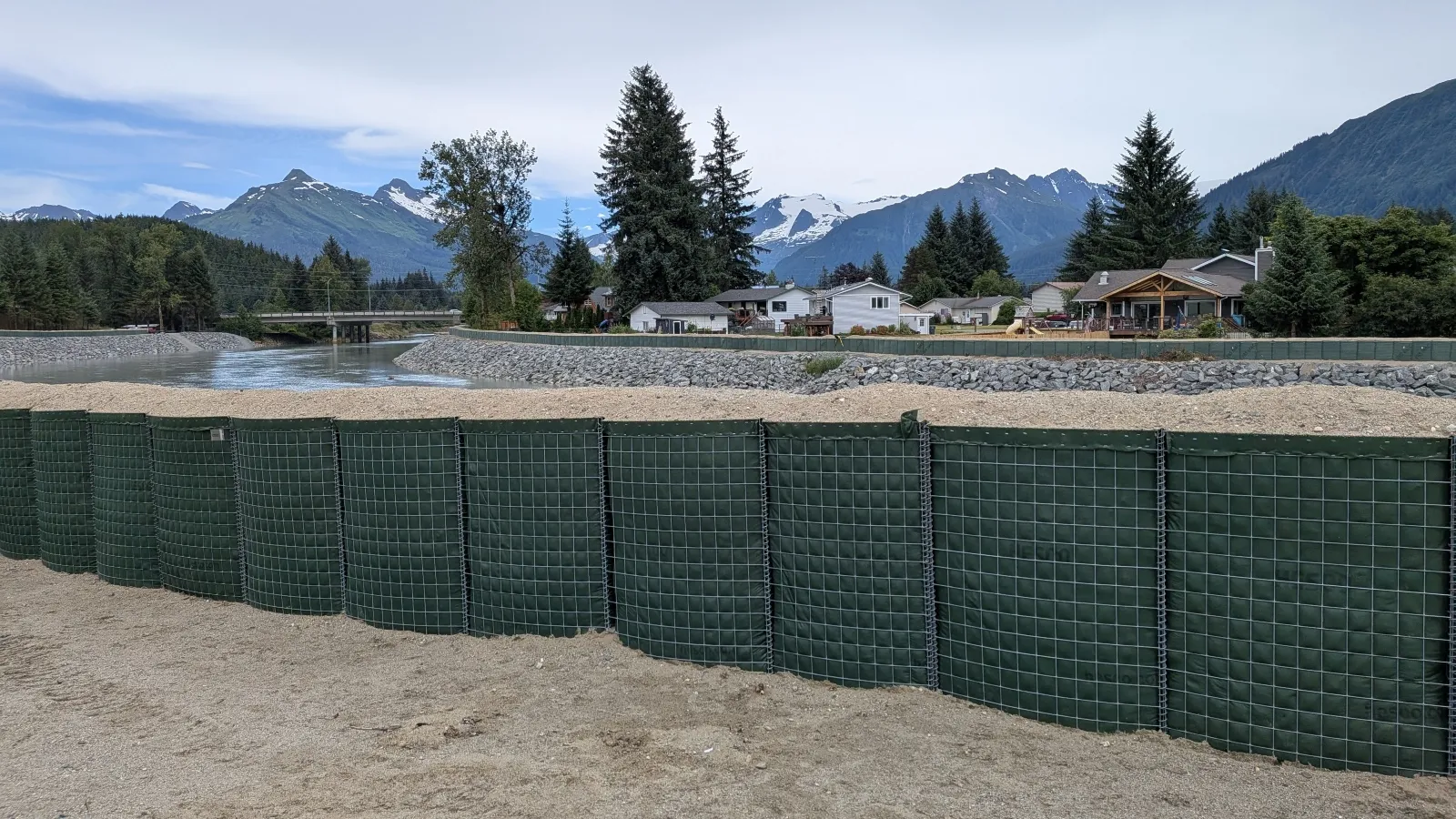
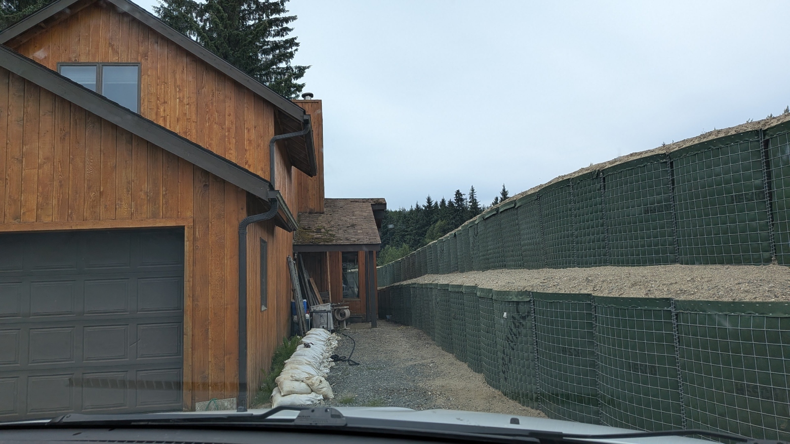
Working in partnership with the U.S. Army Corps of Engineers, municipal authorities have constructed approximately six miles of temporary and semi-permanent flood barriers along the Mendenhall River. These defenses primarily utilize Hesco bastions—fabric-lined, wire-mesh containers filled with sand and gravel that connect like modular building blocks and can be stacked up to four layers high.
Nate Rumsey, deputy director of engineering and public works for the city, noted that another severe flood “could put the viability of our community at risk.” The barriers snake intricately through the valley, passing behind libraries and elementary schools, and occasionally coming within mere inches of residential windows. The public dashboard has played a vital role in this engineering effort, helping homeowners understand why the barriers are being erected, how high the water would rise without them, and what level of protection the city’s defenses are designed to provide.
Despite these efforts, the economic strain is visible across the Mendenhall Valley. "For Sale" signs dot the neighborhoods, but the area has transformed into a buyer’s market. Residents who remain have been forced to adapt in radical ways: some have dug exterior moats around their foundations, while others have jacked their entire homes several feet up into the air on stilts.
Broader Implications for a Warming World
As climate change accelerates, the trials faced by Juneau are increasingly serving as a preview for communities worldwide. Extreme weather events—ranging from glacial outbursts in the Himalayas to severe riverine flooding in the American Midwest and intensifying storm surges along coastal hurricane zones—are becoming more frequent and less predictable.
Eran Hood, an environmental scientist who helped develop Juneau’s predictive dashboard, argues that the city’s greatest export may not be its resilience alone, but its methodology for community-centered risk communication.
“You can do the same thing with hurricanes, storm surges,” Hood said. “You could do the same thing with floods on rivers like the Mississippi. The goal is to find the best way to provide people with information that gives them the power to make decisions. That to me is the biggest lesson from this.”
Back in the Mendenhall Valley, as another rainy season approaches, residents do not harbor illusions that the floods will stop. The glacier will continue to melt, Suicide Basin will continue to fill, and the ice dam will inevitably break. But armed with flashlights, battery-powered radios, and real-time data streaming from a digital dashboard, Juneau’s residents are no longer fighting blind. They are standing their ground, watching the water, and preparing for the next wave.
Related posts: